The Wild Atlantic Way is a signed coastal route running roughly 2,500 kilometres from Malin Head in Donegal to Kinsale in west Cork. It is a superb piece of route-marketing, and it has had one slightly unfortunate effect: a great many visitors now travel it by ticking off the same handful of famous stops.
The coast is considerably more interesting than that. Below are places along the route that reward a detour, grouped roughly north to south.
Overview
A note on the word 'hidden': none of these are secret. They are simply quieter than the headline attractions, usually because they are further from a motorway or need a small detour off the main road.
Donegal and the north-west
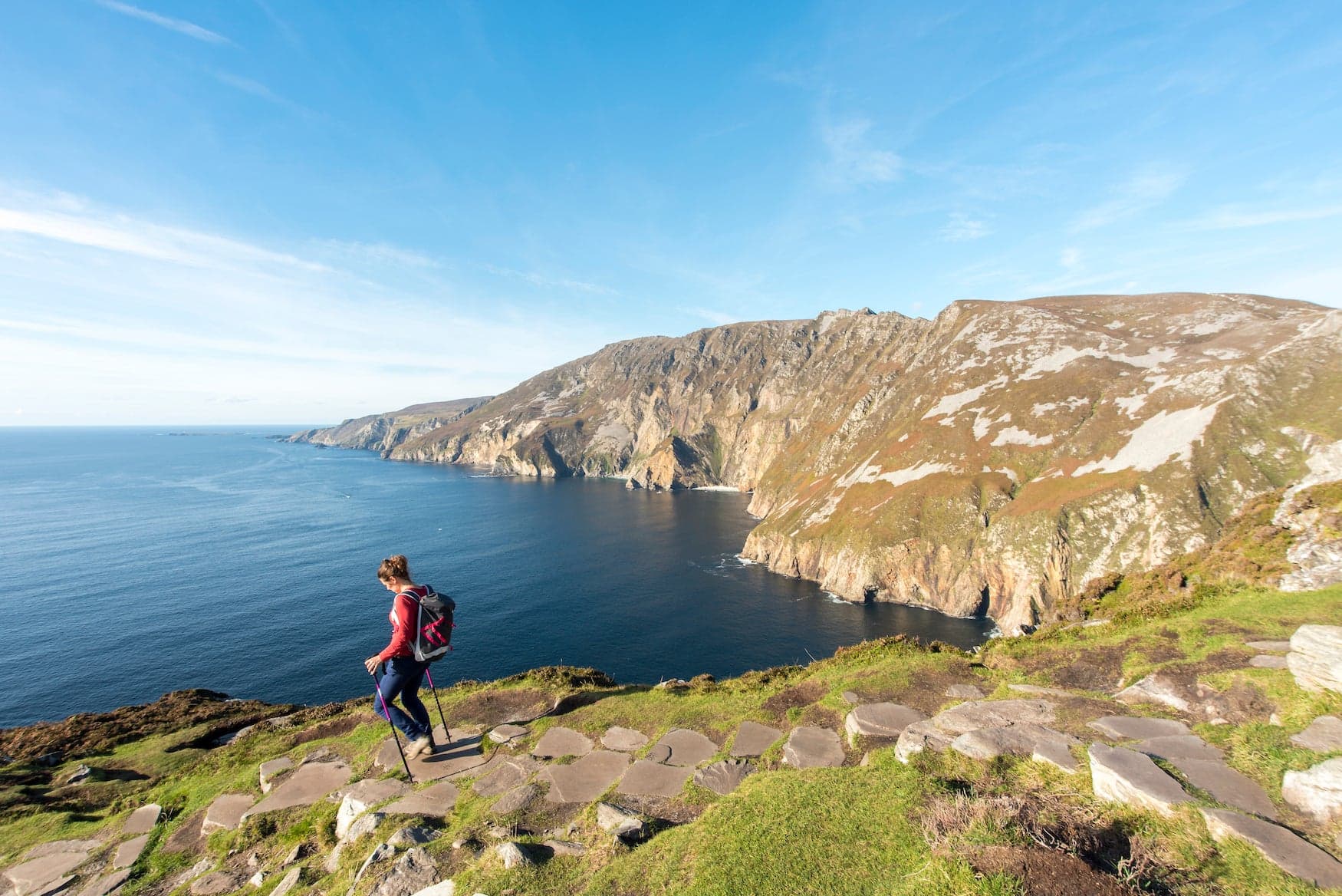
Slieve League
Among the highest sea cliffs in Europe, and dramatically quieter than the Cliffs of Moher. The cliffs rise directly from the Atlantic in south-west Donegal, and there is a viewing area reachable by road as well as walking routes for those who want to go higher.
The reason it stays quiet is simple geography — Donegal is a long way from Dublin and off most standard itineraries. That is precisely the appeal. See the Slieve League tour.
Malin Head
The northernmost point of the island, on the Inishowen Peninsula. Exposed, weather-beaten and genuinely remote-feeling, with wide Atlantic horizons in every direction.
Mayo and Sligo
Achill Island
Connected to the mainland by bridge, so no ferry is needed. Achill has cliffs, blue-flag beaches, a deserted village on the slopes of Slievemore and the Atlantic Drive around its southern edge. It is large enough to spend a full day on without feeling you have exhausted it — the Achill Island tour covers the main loop.
The north Mayo coast
Between Ballina and Belmullet the coastline is starkly beautiful and very lightly travelled. Downpatrick Head, with its sea stack standing offshore, is the best-known point and still rarely crowded.
Connemara and Clare
Inland Connemara
Most visitors to Connemara see Kylemore Abbey and the main road through. The bog roads inland — around Roundstone, Cleggan and the Twelve Bens — are where the landscape becomes genuinely memorable, and they are almost always quiet. See the Connemara tour.
Loop Head
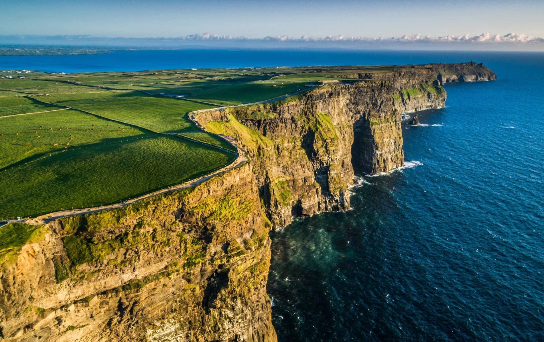
South of the Cliffs of Moher, at the mouth of the Shannon estuary. Cliffs, a lighthouse and a fraction of the visitor numbers of its famous neighbour an hour up the coast.
West Cork and the southern end
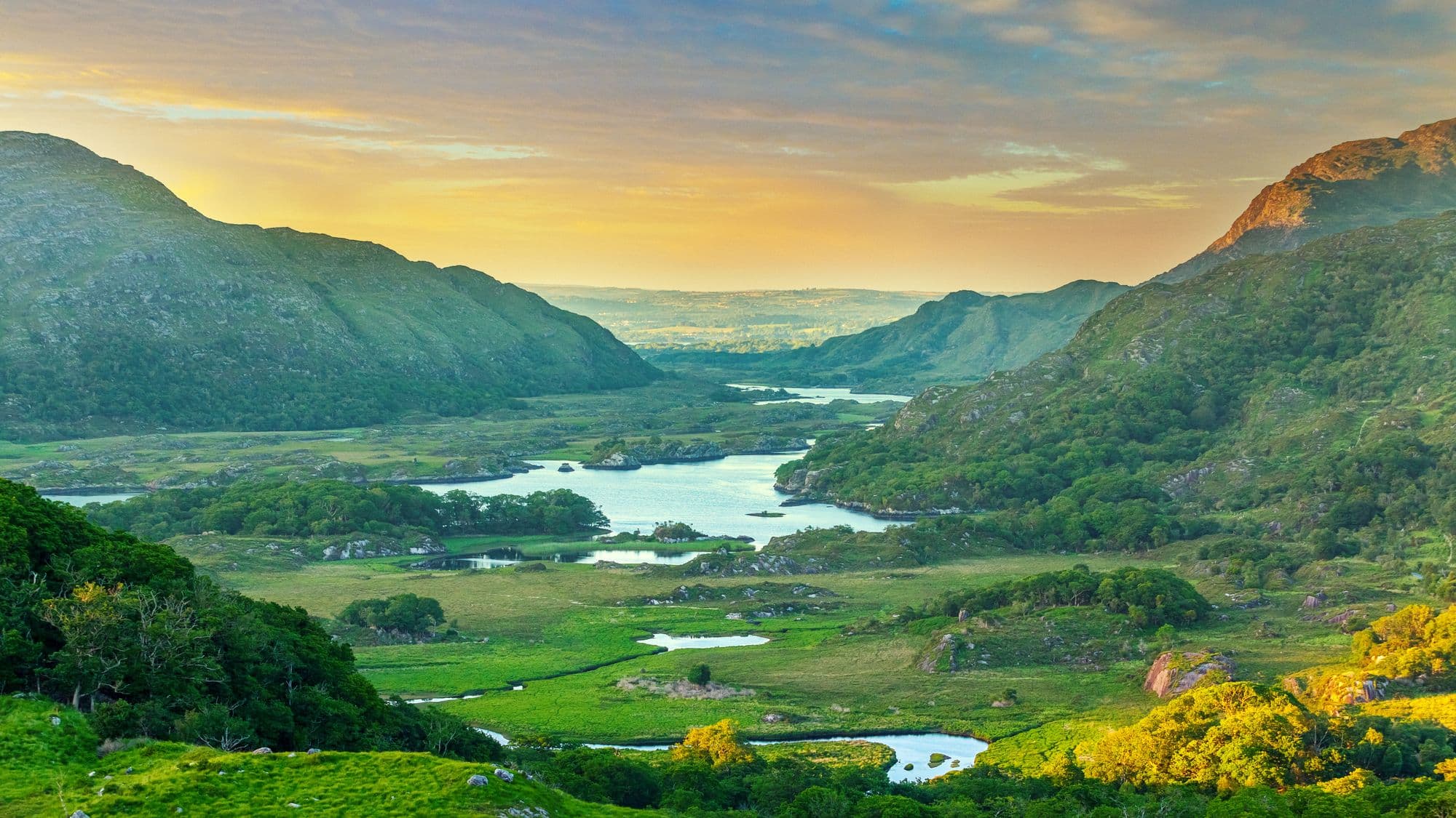
The southern end of the route is gentler in character — harbours, islands and wooded inlets rather than sheer cliff. The Beara Peninsula, straddling Cork and Kerry, is notably quieter than the Ring of Kerry immediately north of it while offering comparable coastal scenery.
| Section | Typical visitor pressure | Character |
|---|---|---|
| Donegal & Inishowen | Low | Remote, exposed, dramatic cliffs |
| North Mayo & Sligo | Low | Wide beaches, sea stacks, bogland |
| Connemara & Galway | Moderate | Mountains, lakes, Irish-speaking areas |
| Clare (Cliffs of Moher) | High | The best-known stop on the route |
| Kerry (Ring of Kerry) | High | Mountain passes and coastal circuits |
| West Cork & Beara | Moderate | Harbours, islands, gentler coastline |
Planning a trip along the route
The single most useful piece of advice for the Wild Atlantic Way is to cover less of it. The route is long enough that attempting the whole thing in a week reduces it to a driving holiday with occasional photographs.
- Pick one or two regions. Donegal and Sligo, or Clare through Kerry to Cork. Not both ends.
- Allow for weather days. On this coast, a plan with no slack in it will be broken by the first wet morning.
- Stay in smaller towns. Accommodation is often better value and the evenings considerably more interesting than in the bigger centres.
- Do not underestimate the roads. Coastal roads here are slower than the distances suggest.
Is a private taxi tour suitable?
The Wild Atlantic Way is well suited to self-driving if you have the time and enjoy it. Where a driver helps is on the multi-day routes through the north-west, where distances are long, roads are slow and public transport is thin.
It also helps if you want to cover several regions without moving accommodation constantly, or if the group includes someone who would rather not drive narrow coastal roads. Our private tours and multi-day packages are usually built around two or three regions rather than the full route.
Plan your journey
Tell us which stretch of coast interests you and how many days you have, and we will suggest a route that does not spend the whole trip in transit. Get in touch to start planning.
Frequently Asked Questions
The signed route runs for approximately 2,500 kilometres along Ireland's western seaboard, from Malin Head in County Donegal to Kinsale in County Cork. Very few visitors drive the whole thing in one trip, and there is no need to.
You can cover a substantial portion in a week, but not the full route at any sensible pace. Most people choose one or two regions — Donegal and Sligo, say, or Clare through Kerry to west Cork — and travel those properly rather than rushing the lot.
Generally the further north you go, the quieter it gets. Donegal, north Mayo and north Sligo see far fewer visitors than Clare and Kerry, while still offering some of the most dramatic coastline on the route.